Imaging Radar
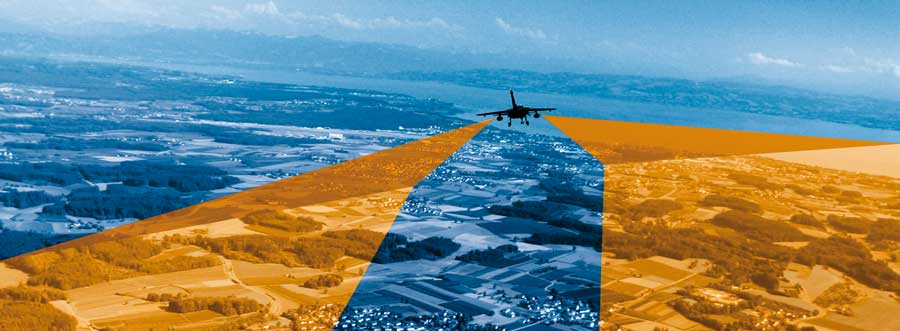
Airborne Surveillance
When a tanker or ship capsizes, oil and other polluting substances leak out. Rescue and salvage teams have to react quickly in order to limit the rapid expansion through ocean currents. The arising oil spill can endanger the life of complete coastal and marine areas. As oil spills change the reflectivity of the water surface, they can be seen particularly well by means of radar technology. For the first time, RST developed an airborne imaging radar system specifically for missions over water: |
|
Water Surface Measurement System
The resolution of 5 m ("Single-Look-Mode") also allows for a wide field of application over land. An important feature of the RST Radar is the real-time image generation on board. Its affordable price is another undeniable advantage.
|
Airborne imaging radar is the perfect solution for environmental observations and ship controls for:
|
Selected services of the RST portfolio:
Currently, there are no messages availabe.