Technology
Cutting-edge radar software
Radar systems for airplanes and helicopters are a challenge for high-tech companies. The requirements are manifold:
|
|


- Measurement flight over ice (DLR (CC-BY 3.0))

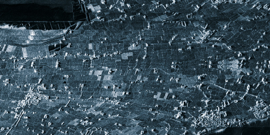
- Coastal observation via SAR

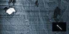
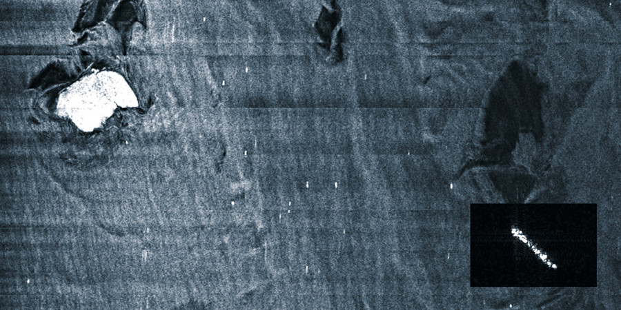
- SAR-image above water, ship identification
Airborne radar systems get their measuring quality from a highly sophisticated software application. Since the company's foundation, the development of this software technology has been among its core competencies. It is what transforms all RST radar systems into unique products. RST's range of software capabilities:
Software development is supported through realistic radar raw data simulation. This makes it possible to develop and test software programmes while the hardware is still in development. RST is an expert in radar raw data simulation. The company’s simulators have been used in many development projects and refined to perfection through years of successful use. RST’s considerable expertise gained in testing radar systems helps make the simulation as real as possible. This allows for the seamless and simultaneous development of software and hardware. The end result is high measuring quality for a moderate expenditure of time and cost. Find helicopter-carried GPR systems for ground penetration in the section Ground. |
|