GPR | Geological Measurements

Airborne geo radar with HERA G+

In order to realise GPR measurements in areas which are difficult to access and to fasten the data generation process, RST developed a GPR system that is carried by a helicopter.

The HERA G+ system consists of a radar and an antenna system which are positioned below the helicopter cabin. The typical working height is at 15-25 m over the ground, whereas the measuring speed lies between 40 and 80 km/h.

HERA-G+ has already been tested successfully for the mapping of internal structures and thickness-temperate glaciers in the Swiss Alps. The system's high resolution (< 1 m) could be demonstrated on thin snow layers close to the glaciers' surface. 

Airborne geological measurements

HERA-G (HElicopter RAdar)

  • highly efficient data generation in inaccessible areas for close-to-surface structures
  • location and topography of the measured profiles are detected for data processing by means of GPS technology 
  • mapping of glaciers (penetration depth of up to 250 metres)
  • mapping of the ground water surface and unsaturated sediment structures (penetration depth in sandy ground of up to 15 metros)


Selected services of the RST portfolio:

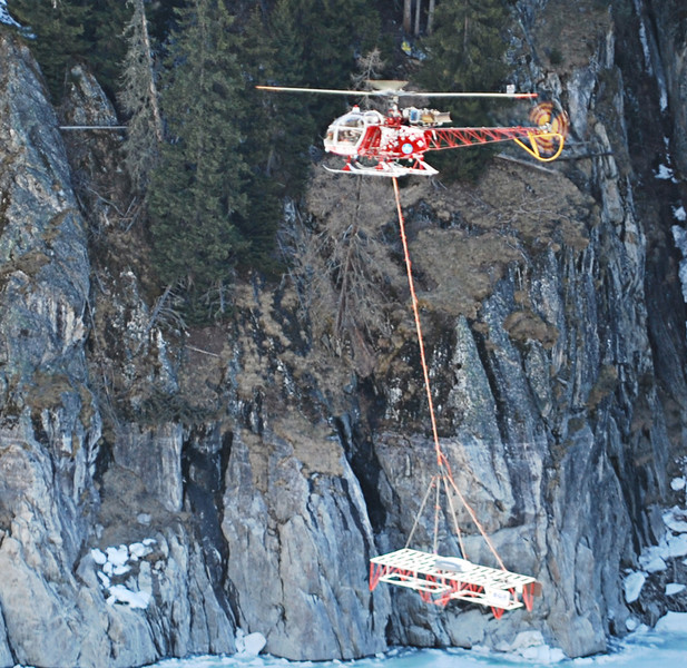
HERA-G / HERA-G+ (Helicopter Radar Gated)

Helicopter measurement campaigns for tests of the Very Low Frequency GPR "HERA-G" in gated mode.

Customer: BGR (Federal Institute for Geoscience and Natural Resources), LGGE (Laboratoire de Glaciologie et Géophysique de l'Enviroment), ETH Zurich VAW (Versuchsanstalt für Wasserbau, Hydrologie und Glaziologie)

read more 

Reference project: HERA (Helicopter Radar)

Development of GPRs for airborne survey of inaccessible areas and to speed up the data acquisition process in co-operation with BGR (Federal Institute for Geosciences and Natural Resources).

Customer: BMWi (Federal Ministry of Economics and Technology)

read more